


Garmin
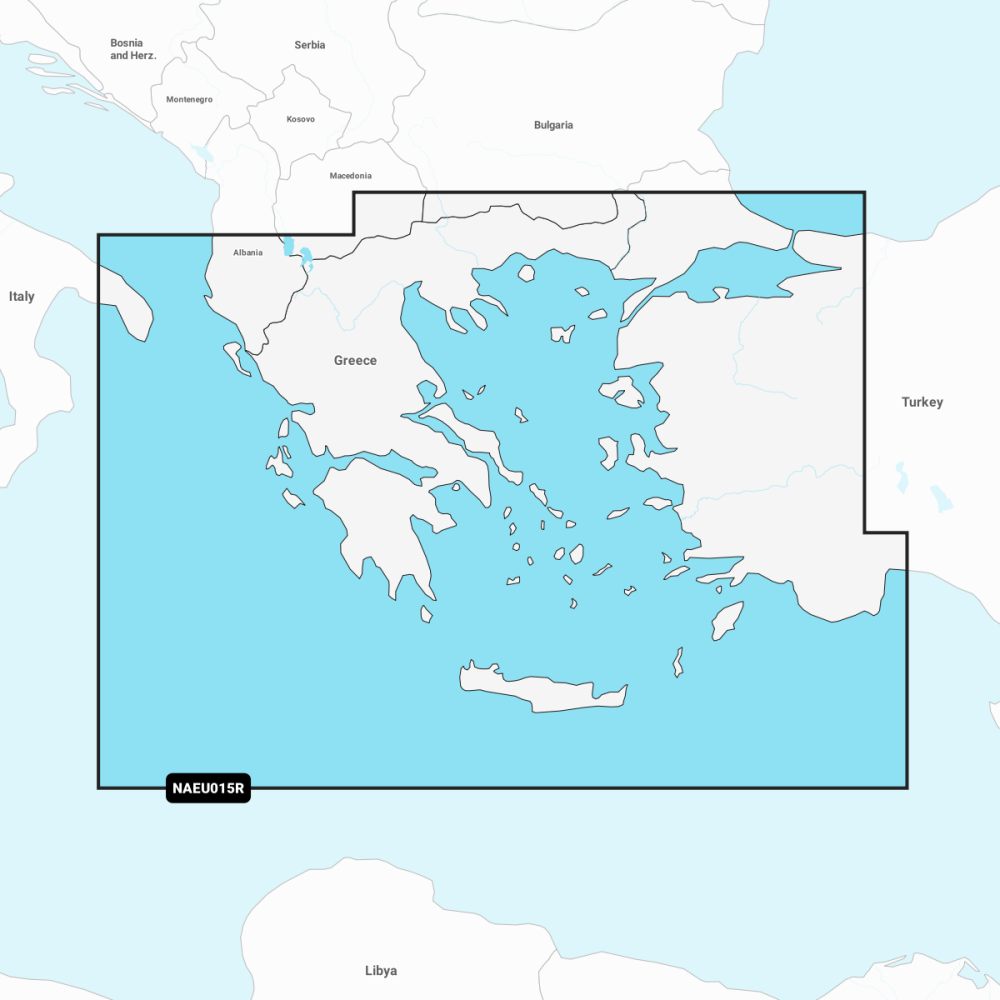
Aegean Sea, Sea of Marmara -NAEU015R
Pickup available at Mercury Yacht Harbour
Usually ready in 2-4 days
Description
Navionics+ Aegean Sea, Sea of Marmara (NAEU015R). Coastal coverage of all of Greece, the Aegean coast of Türkiye, the Sea of Marmara, the Dardanelles and Crete. Detailed coverage includes the ports of Istanbul and Antalya, Türkiye and Athens, Greece.
A comprehensive, all-in-one solution, Navionics+ charts and maps combine clear, reliable coastal/inland content with advanced guidance features and compatibility with a wide range of chartplotter brands.
Supplied on a microSD/SD card with a one-year subscription.
PRODUCT DETAILS
- Navigate with our best offshore and inland lake coverage for your compatible chartplotter.
- See it your way. Customise your view with various chart layers and overlay combinations.
- With your included 1-year subscription, access daily updates via the Navionics chart installer software.
- Advanced route guidance technology lets you navigate with suggested dock-to-dock routings.
- Selectable map options let you highlight shallow areas, adjust contour density or select a fishing range.
- Renewing your subscription let's you continue accessing daily updates plus new content downloads.
No exploded diagram available for this product.
No compatible transducers listed for this product.
No spares or accessories listed for this product.
No compatible products found.
Cartography
| Product line | Navionics+ |
| Coverage area | Aegean Sea, Sea of Marmara |
| Region code | NAEU015R |
| Media | microSD/SD card |
| Subscription | One-year subscription included |
| Source | https://www.garmin.com/en-GB/p/843812/pn/010-C1319-30 |
No videos available for this product.
No downloads available for this product.
No frequently asked questions for this product.


